
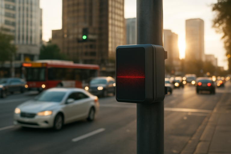
For decades, traffic management has relied on inductive loops buried in asphalt, cameras that struggle in low light, and radar that lacks the precision to distinguish a pedestrian from a bicycle. But as cities swell and congestion costs economies billions annually, a new tool is emerging: LiDAR. Short for Light Detection and Ranging, this laser-based sensing technology is moving beyond autonomous vehicle prototypes and into the very fabric of urban infrastructure. By providing high-resolution, real-time 3D data of every vehicle, cyclist, and pedestrian moving through an intersection, LiDAR is enabling a paradigm shift in how cities understand and control traffic flow.
Why Traditional Traffic Sensors Fall Short
Conventional traffic management systems rely on several technologies, each with inherent limitations:
- Inductive loop detectors – Buried in the road, they only count vehicles that pass over them. They cannot detect bicycles, pedestrians, or stopped vehicles, and they fail when roads are resurfaced.
- Cameras – Susceptible to glare, shadows, fog, and darkness. Privacy concerns also limit their deployment in many jurisdictions.
- Radar – Provides speed and presence but lacks the angular resolution to precisely track multiple objects in complex intersections.
These systems aggregate data at a coarse level, often updating every 30 to 60 seconds. That delay means traffic signals react to conditions that are already stale, leading to inefficient green times, unnecessary stops, and cascading congestion.
How LiDAR Transforms Intersection Intelligence
LiDAR emits thousands of laser pulses per second and measures the time it takes for each pulse to return, creating a dense point cloud of the environment. When mounted at an intersection, a single solid-state LiDAR unit can:
- Detect and classify objects (cars, trucks, bicycles, pedestrians) with sub‑meter accuracy.
- Track their trajectories in real time, including speed, heading, and acceleration.
- Operate 24/7 in all weather conditions, including rain, fog, and direct sunlight.
- Preserve privacy because it does not capture facial features or license plates – only geometric shapes.
This data stream is fed into an edge computing node that runs traffic optimization algorithms. Instead of fixed timing plans, the intersection becomes adaptive: it can extend a green light for a platoon of buses or give a pedestrian a longer crossing window based on actual need.
Real‑World Deployments and Early Results
Several cities have already begun piloting LiDAR‑enabled intersections. In Austin, Texas, a collaboration between the city and a LiDAR startup reduced average intersection wait times by 40% during peak hours. The system prioritized emergency vehicles automatically, shaving response times by an average of 15 seconds per intersection.
In Helsinki, Finland, LiDAR sensors were installed at a complex roundabout known for cyclist‑vehicle conflicts. Within three months, the system reduced near‑miss events by 60% and allowed traffic engineers to redesign the roundabout’s signage based on actual movement patterns.
According to a 2023 study by the International Transport Forum, cities that deploy high‑resolution sensor networks can reduce urban congestion by up to 25% and cut vehicle emissions by 12% through smoother traffic flow. The global market for smart traffic management is projected to reach $17.5 billion by 2027, with LiDAR‑based solutions capturing a growing share.
Beyond the Intersection: LiDAR as Urban Data Backbone
LiDAR’s value extends far beyond a single traffic light. When multiple sensors are networked across a district, they create a continuous digital twin of the street grid. This data enables:
- Dynamic lane management – Changing lane directions in real time based on traffic volume.
- Predictive traffic modeling – AI algorithms forecast congestion hotspots 30 minutes ahead and suggest alternate routes.
- Infrastructure health monitoring – LiDAR can detect subtle pavement deformations, potholes, and curb damage.
- Integration with autonomous vehicle fleets – Self‑driving cars can receive intersection‑level data to anticipate signal changes and avoid hazards.
Cities like Singapore and Dubai are already deploying citywide LiDAR networks as part of their smart nation initiatives. Singapore’s Land Transport Authority uses LiDAR to monitor bus lane usage and enforce compliance without human enforcement officers.
Overcoming the Hurdles: Cost, Integration, and Standards
Despite its promise, LiDAR‑enabled traffic management faces several barriers:
- Cost – High‑performance LiDAR units can still cost several thousand dollars per intersection. However, prices have dropped 80% in the last five years, and solid‑state units are approaching the $1,000 threshold.
- Data processing – The sheer volume of point cloud data requires edge computing with dedicated GPUs. Cloud‑based processing introduces latency that defeats the purpose of real‑time control.
- Standardization – There is no universal protocol for how LiDAR data should be formatted, shared, or integrated with existing traffic signal controllers. Industry groups like the SAE and ITU are working on standards, but adoption remains fragmented.
Municipalities also face a learning curve. Traffic engineers trained on loop detectors and cameras must become comfortable with point cloud visualization and machine learning outputs. Training programs and vendor partnerships are essential for successful scale‑up.
The Human Factor: How LiDAR Improves Safety and Equity
While the technology is sensor‑centric, its ultimate beneficiaries are people. LiDAR’s ability to detect pedestrians and cyclists with high reliability makes intersections safer for vulnerable road users. In Portland, Oregon, a LiDAR‑enabled crosswalk now triggers a longer pedestrian phase when it detects someone moving slowly – an elderly person or a child – without requiring them to press a button.
Equity also comes into play. Low‑income neighborhoods often have older, less effective traffic infrastructure. LiDAR‑based adaptive signals can be retrofitted without digging up roads, making it cheaper to upgrade underserved areas. The data itself can reveal disparities: if a neighborhood consistently has longer wait times, the city can adjust signal timing to balance the load.
Looking Ahead: The LiDAR‑Powered City
In the next decade, LiDAR will likely become as ubiquitous as traffic cameras. New intersections will be built with built‑in sensor cavities; existing ones will be retrofitted with compact, ruggedized units. The data will feed into citywide digital twins that simulate traffic, pollution, and pedestrian flow in real time.
The ultimate vision is a city where traffic lights never turn red for no reason, where emergency vehicles glide through green corridors, and where emissions drop because idling is minimized. LiDAR is not a magic bullet – it must be paired with robust software, open standards, and thoughtful urban planning. But it provides the granular, real‑time awareness that has been missing from traffic management for a century.
As cities continue to grow denser and more complex, the ability to see every movement with laser precision will become not just an advantage, but a necessity. The future of urban mobility is not just faster cars or more roads – it’s smarter intersections that understand exactly what is happening, right now, and act on it. LiDAR is the