
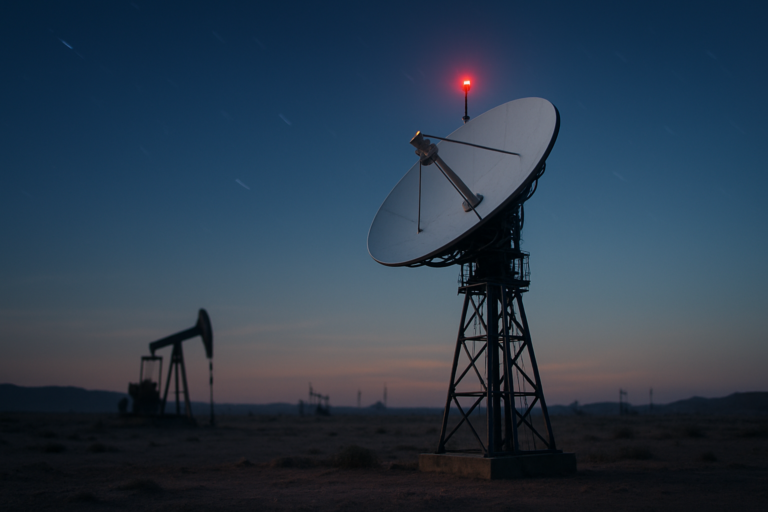
When an iron ore mine sits 400 kilometers from the nearest paved road, or an offshore drilling platform floats in waters that see fewer than a dozen ships a year, “getting online” isn’t about finding a strong Wi-Fi signal. It’s about solving physics, economics, and geography at the same time. For decades, industrial operations in the world’s most remote corners have relied on expensive, slow, or unreliable links. But that’s changing. Low Earth Orbit (LEO) satellite constellations are rewriting the rules of remote connectivity, making real-time monitoring possible in places where even airplanes rarely fly.
The Connectivity Gap in Remote Operations
The challenge isn’t just distance—it’s the absence of infrastructure. A mine in northern Chile, a wind farm in the North Sea, or a pipeline crossing the Siberian tundra all share a common problem: they sit far beyond the reach of terrestrial networks. Traditional options were limited:
- Geostationary satellites (GEO) hover 35,786 kilometers above the equator. They provide broad coverage but suffer from high latency—often over 500 milliseconds—and require large, expensive ground terminals.
- VSAT systems offer better bandwidth but are costly to install and maintain, especially on mobile assets like ships or haul trucks.
- Radio or microwave links work only over short distances and need line-of-sight, which is rarely available in rugged terrain or offshore.
The result? Many remote operations have been operating with delayed data or no data at all. Maintenance crews rely on manual inspections. Fleet managers lose visibility the moment a vehicle disappears over a ridge. Environmental sensors might report once a day—if the battery and transmitter survive. That’s not just inefficient; it’s risky.
How LEO Satellites Are Changing the Game
Low Earth Orbit constellations flip the old model. By placing hundreds—sometimes thousands—of satellites between 300 and 2,000 kilometers above the Earth, they drastically reduce the distance data must travel. Latency drops to 20–40 milliseconds, approaching what fiber-optic connections deliver on land. And because the constellations orbit continuously, a moving asset never loses its connection.
This isn’t just faster communication. It’s a completely different way of thinking about remote operations. Instead of periodic downloads or one-way telemetry, companies now get continuous, two-way data streams. That enables:
- Real-time asset tracking across fleets of trucks, ships, or trains.
- Remote diagnostics for machinery, allowing predictive maintenance before failures occur.
- Instant video feeds from inspection drones or fixed cameras.
- IoT sensor aggregation from hundreds of endpoints, all reporting to a central dashboard.
LEO satellites also shrink the physical footprint of ground equipment. A terminal that once required a 2.4-meter dish and dedicated power can now be the size of a laptop, mounted on a vehicle or a small pole. That makes it feasible to equip almost every piece of industrial infrastructure with connectivity—not just the main office.
Real-World Applications Across Industries
Mining and Energy
Large open-pit mines stretch for kilometers, with haul trucks the size of houses moving ore day and night. In the past, truck drivers relied on line-of-sight radios or drove blind between sites. Now, LEO-connected telemetry systems monitor tire pressure, fuel consumption, engine temperature, and load weight in real time. The same technology supports autonomous haulage systems, which need dependable, low-latency links to control centers.
Offshore oil and gas platforms benefit similarly. Crew members can now access cloud-based maintenance documents, video-call specialists onshore, and stream sensor data for drilling equipment—all without waiting for an expensive HsVSAT link. According to a 2023 report by Euroconsult, the global satellite-based IoT market in the energy sector is projected to grow at 18% annually through 2030.
Maritime and Shipping
The shipping industry is huge, with over 50,000 merchant vessels moving goods across oceans. Many of these ships spend weeks outside terrestrial coverage. LEO constellations now provide continuous tracking of cargo conditions—temperature, humidity, shock—and allow for automatic reporting to port authorities and insurers. For example, reefer containers carrying perishable goods can transmit alerts the moment a cooling unit fails, preventing spoilage losses that run into millions of dollars.
In addition, satellite-based Automatic Identification Systems (AIS) receive data from thousands of vessels and feed it into maritime monitoring platforms, helping to detect illegal fishing, track pirate activity, and optimize routing. With vessel density in busy lanes increasing, such data has become essential not just for commercial operators but for coastal surveillance agencies.
Agriculture and Forestry
Precision agriculture was once limited to farms within reach of cellular networks. That’s