
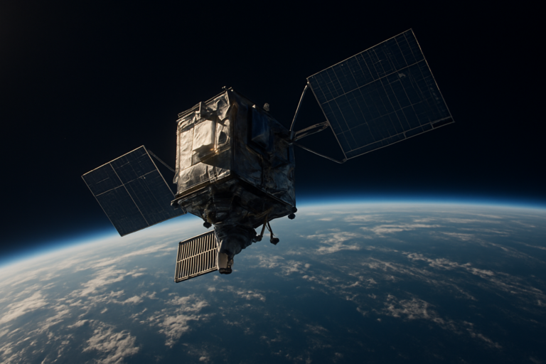
The world is generating more data than ever before, but vast stretches of our planet remain invisible to the internet. Oceans, deserts, forests, and remote industrial sites are largely disconnected from the digital grid. This is where satellite-enabled IoT telemetry is changing the game. By leveraging low-earth orbit (LEO) satellite constellations, we are now able to connect sensors in the most inaccessible corners of the Earth, transforming how we monitor, manage, and understand our environment and infrastructure.
Traditional IoT systems rely on terrestrial networks like cellular, Wi-Fi, or LoRaWAN. These technologies work well in urban and suburban areas, but they have a fundamental limitation: coverage. If a sensor is placed beyond the reach of a cell tower or a gateway, it becomes a data island. Satellite-enabled IoT telemetry solves this problem by using a network of satellites orbiting close to Earth to relay data from any location on the planet. This is not about streaming video or browsing the web; it is about low-bandwidth, high-reliability data transmission for sensors that need to report temperature, pressure, location, vibration, or other metrics.
LEO satellites orbit at altitudes between 500 and 2,000 kilometers. This proximity to Earth offers significant advantages over traditional geostationary satellites, which sit much higher. The lower orbit means reduced latency, smaller and cheaper ground equipment, and the ability to support a massive number of devices. Companies like SpaceX with Starlink, Amazon with Project Kuiper, and dedicated IoT-focused operators like Swarm Technologies (now part of SpaceX) and Astrocast are building constellations of hundreds or even thousands of small satellites. These constellations blanket the Earth, ensuring that a sensor can connect to a satellite as it passes overhead.
The technical architecture is elegant. A sensor equipped with a small, low-power satellite modem periodically transmits a data packet. The packet is received by a LEO satellite as it passes within range. The satellite then relays the data to a ground station, which forwards it to the cloud. The user accesses the information through a dashboard or API. The entire process is automated, requiring no human intervention. The key enabler is the use of license-free or licensed spectrum bands, combined with advanced modulation techniques that allow the satellite to pick up weak signals from tiny antennas.
The applications are vast and growing rapidly. In agriculture, satellite IoT telemetry allows farmers to monitor soil moisture, weather conditions, and equipment status across hundreds of thousands of hectares, even in remote fields far from cellular coverage. This data enables precision irrigation and reduces water waste. In the energy sector, pipelines and wellheads in deserts or arctic regions can be monitored for leaks, pressure changes, and structural integrity, preventing costly and environmentally damaging failures. Shipping containers and cargo can be tracked across oceans, providing real-time location and condition data, reducing theft and spoilage.
Environmental monitoring is another critical use case. Scientists can deploy sensors in remote rainforests to track deforestation, in glaciers to measure melt rates, or in oceans to monitor currents and pollution. These sensors can operate for years on small batteries, transmitting data daily or hourly. The data is invaluable for climate research and conservation efforts. Wildlife tracking has also been transformed. Collars on animals like elephants, wolves, and sea turtles can transmit location and health data, even when the animals roam across borders and into areas without cellular coverage.
The industrial sector is a major beneficiary. Mining operations, oil and gas extraction, and construction projects often take place in remote areas. Satellite IoT telemetry enables remote monitoring of equipment health, environmental conditions, and safety parameters. This reduces the need for personnel to visit dangerous or hard-to-reach sites, improving safety and lowering operational costs. For example, a mining company can monitor the vibration and temperature of crushers and conveyors hundreds of kilometers from the nearest town, predicting failures before they cause downtime.
The cost of satellite IoT connectivity has dropped dramatically in recent years. Early satellite IoT solutions required expensive, large terminals and costly service plans. Today, a satellite IoT modem can cost less than $50, and data plans can be as low as a few dollars per month per device. This democratization of access is opening up new possibilities for small and medium-sized enterprises and even individual researchers. The market is projected to grow significantly, with estimates suggesting that the number of satellite IoT connections could reach over 27 million by 2028, up from just a few million today.
Challenges remain. Battery life is a constraint, as the sensor must transmit a signal powerful enough to reach orbit. However, advancements in low-power electronics and energy harvesting are extending device lifespan. The number of satellites in a constellation also determines coverage frequency. A single LEO satellite might pass over a fixed point only a few times a day. For applications requiring near-real-time data, a larger constellation with more frequent passes is necessary. This is why companies are racing to launch hundreds of satellites. Interference and spectrum management are also ongoing concerns, but regulatory frameworks are evolving to accommodate the growth.
The future of satellite-enabled IoT telemetry is bright. Integration with 5G networks is on the horizon, creating hybrid systems where a device can seamlessly switch between terrestrial and satellite connectivity. Edge computing capabilities are being added to satellites, allowing for on-orbit data processing and reducing the need to transmit raw data. This will enable more complex applications, such as video analytics for security or artificial intelligence for anomaly detection. The ultimate goal is a truly ubiquitous sensor network that provides real-time visibility into every corner of our planet.
Satellite-enabled IoT telemetry is not just a technological advancement; it is a fundamental shift in how we interact with the physical world. By removing the barrier of geography, we can monitor and manage assets and environments that were previously invisible. From protecting endangered species to optimizing global supply chains, the potential is immense. As LEO constellations continue to expand and costs continue to fall, the era of global sensor connectivity is finally arriving. The data that was once out of reach is now just a satellite pass away.